Sea plants · Mangrove

White Mangrove

Avicennia marina (Forssk.) Vierh.
syn. Avicennia intermedia, Avicennia mindanaense
Least Concern
959

It drinks seawater, which no ordinary tree can do, and it deals with the salt in two ways at once.

Most of it is stopped at the root. The membranes exclude something like ninety-nine percent of the salt in the water taken up, which is filtration on a scale industrial plants need pressure and energy to achieve. What still gets through is pushed out through glands on the leaves, and it dries there as visible crystals: run a finger over the upper surface of a leaf and then taste it, and the tree's whole problem is on your tongue.

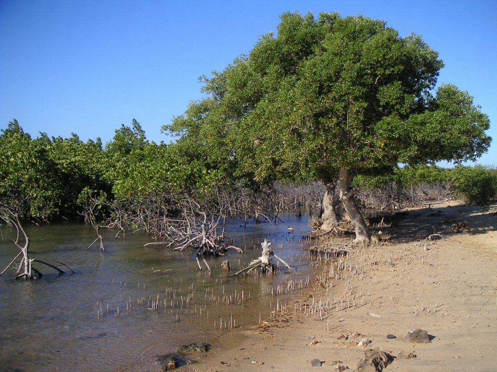
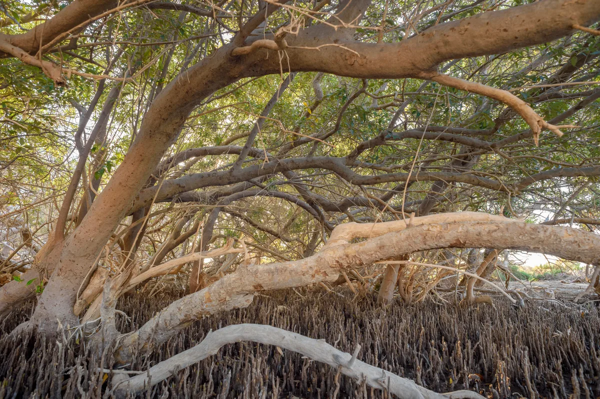
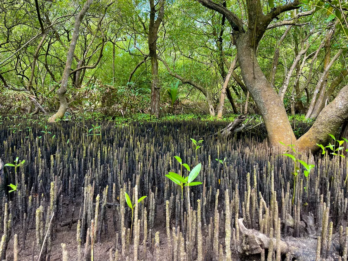
The second problem is mud. Waterlogged sediment holds almost no oxygen, so the roots cannot breathe, and this species solves it by growing pencil-thick vertical roots that stick up out of the mud around the trunk in their thousands. They are snorkels, open to the air at low tide and sealed by water at high.

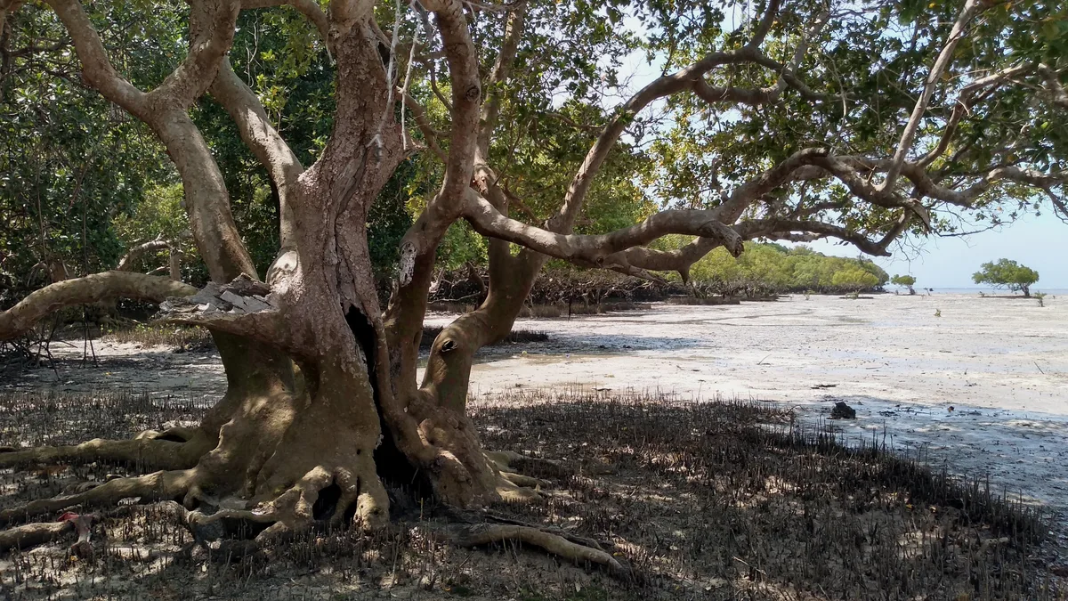
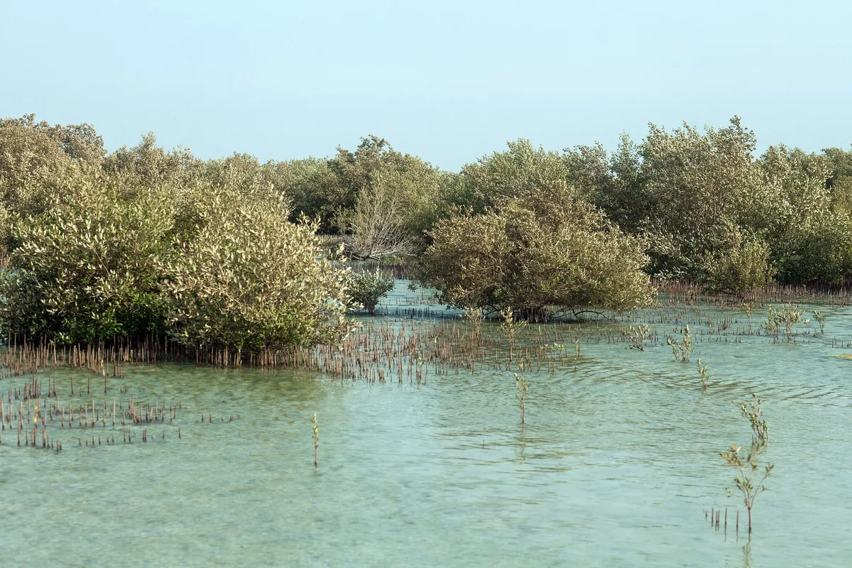
On this coast it is the only mangrove there is, so the stands are single-species forest rather than the layered mangrove of wetter tropics. They hold the sediment, shelter juvenile fish, and support the herons, ospreys and crab populations of an otherwise bare shore.

How to recognise it
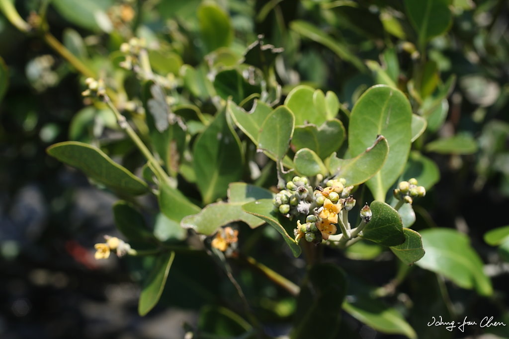
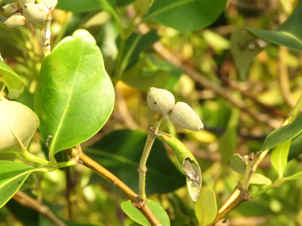
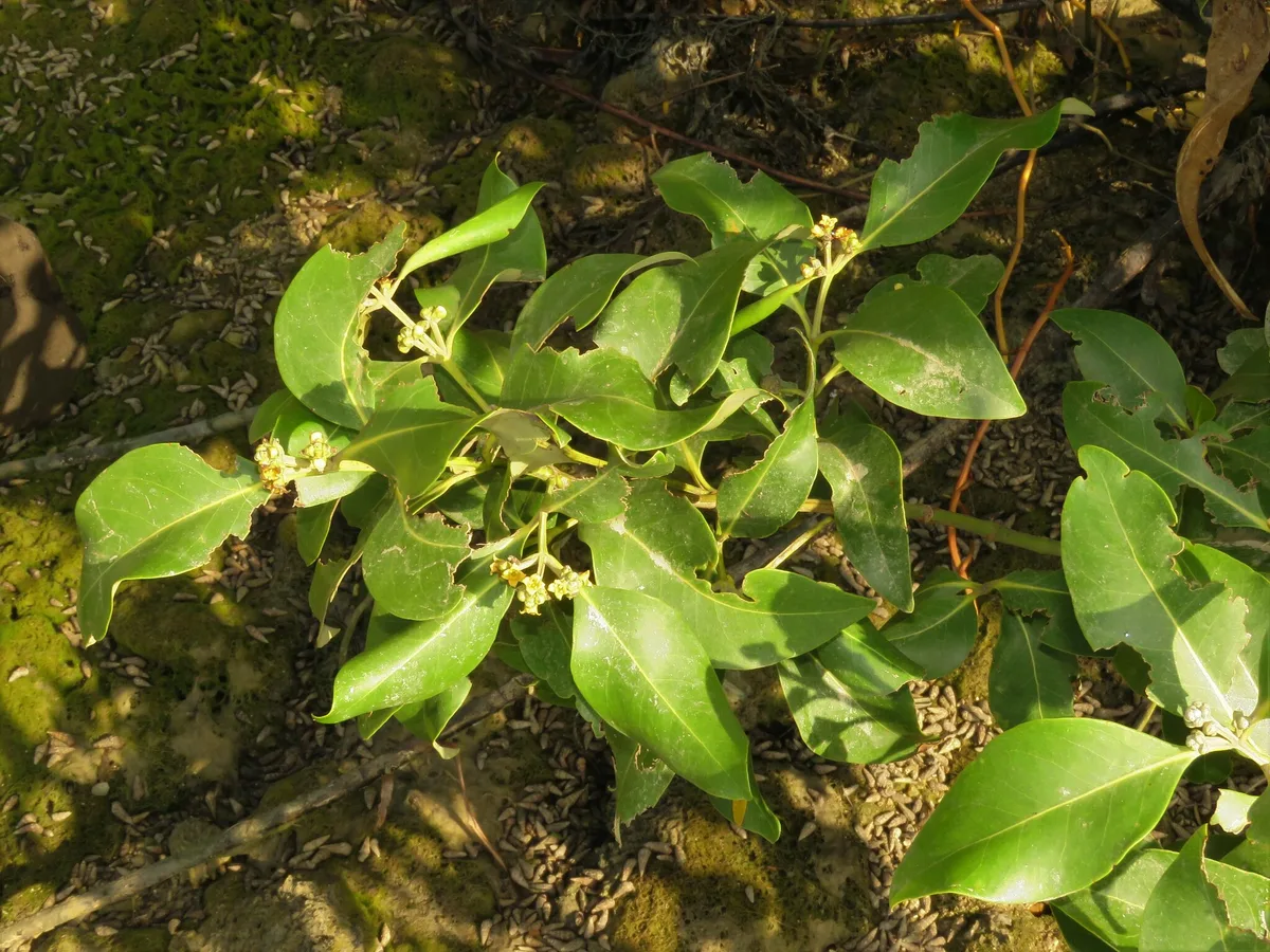
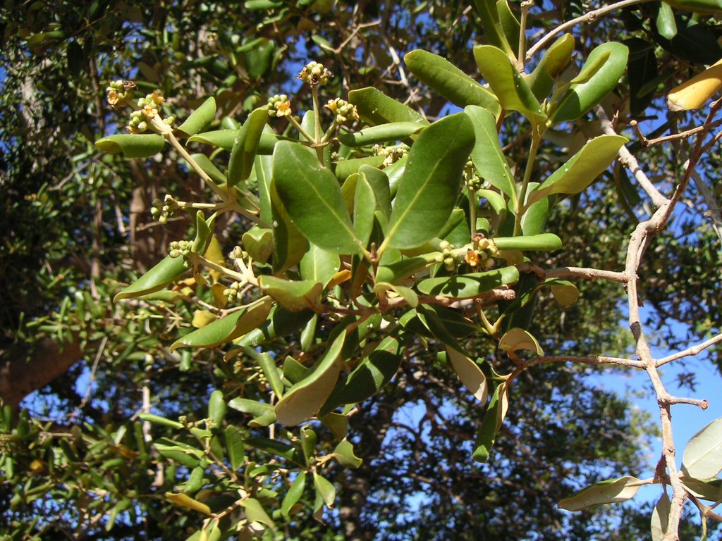
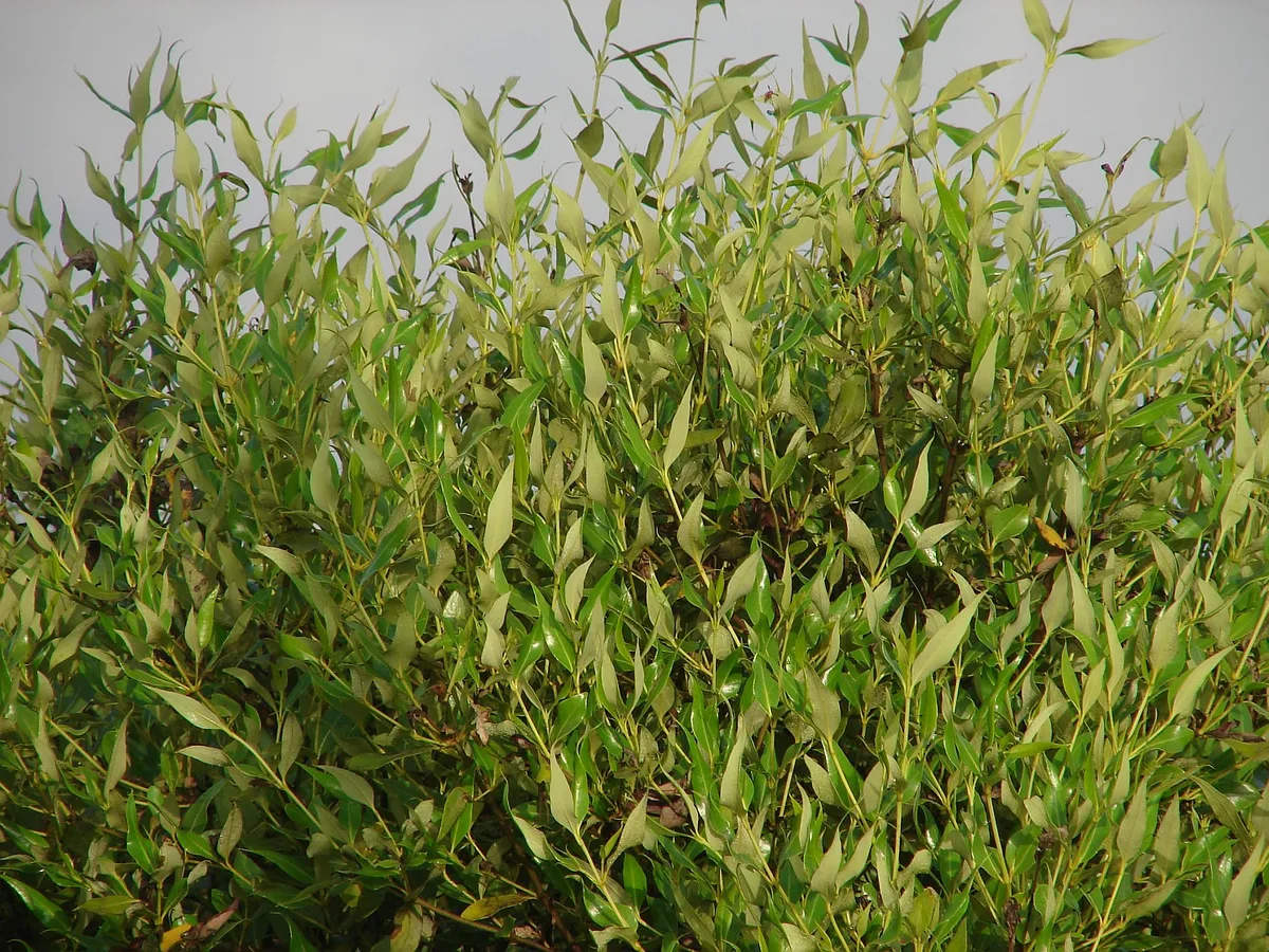
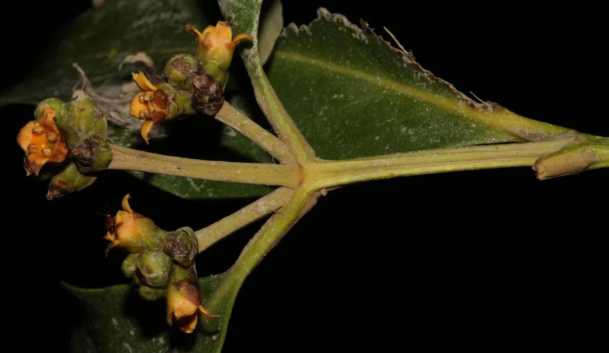
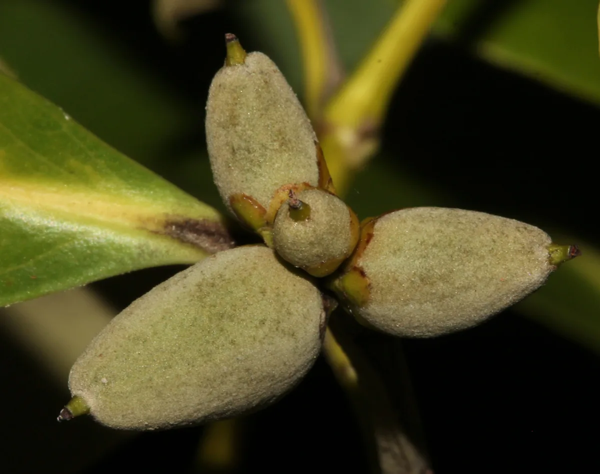
  • gray-green leaves, pale and felted underneath
  • forest of finger-thick vertical roots standing out of the mud around each tree
  • salt crystals on the upper leaf surface, which taste of salt
  • the only mangrove species on this coast

Why it's threatened

Residential & commercial development
Housing & urban areas
Agriculture & aquaculture
Agro-industry farming · Scale Unknown/Unrecorded
Biological resource use
Motivation Unknown/Unrecorded
Climate change & severe weather
Habitat shifting & alteration

This species is highly sensitive to herbicides (N. Duke pers. comm.). Although local estimates are uncertain due to differing legislative definitions of what is a 'mangrove' and to the imprecision in determining mangrove area, current consensus estimates of mangrove loss in the last quarter-century report an approximately 21% decline in mangrove areas in countries within this species range since 1980 (FAO 2007).

All mangrove ecosystems occur within mean sea level and high tidal elevations, and have distinct species zonations that are controlled by the elevation of the substrate relative to mean sea level. This is because of associated variation in frequency of elevation, salinity and wave action (Duke et al. 1998). With rise in sea-level, the habitat requirements of each species will be disrupted, and species zones will suffer mortality at their present locations and re-establish at higher elevations in areas that were previously landward zones (Ellison 2005). If sea-level rise is a continued trend over this century, then there will be continued mortality and re-establishment of species zones. However, species that are easily dispersed and fast growing/fast producing will cope better than those which are slower growing and slower to reproduce.

In addition, mangrove area is declining globally due to a number of localized threats. The main threat is habitat destruction and removal of mangrove areas. Reasons for removal include cleared for shrimp farms, agriculture, fish ponds, rice production and salt pans, and for the development of urban and industrial areas, road construction, coconut plantations, ports, airports, and tourist resorts. Other threats include pollution from sewage effluents, solid wastes, siltation, oil, and agricultural and urban runoff. Climate change is also thought to be a threat, particularly at the edges of a species range. Natural threats include cyclones, hurricane and tsunamis.

Threat classification from the IUCN Red List.

Comments

Please, sign in to leave a comment

Continue with a social account - yours will be created automatically.

No comments yet — be the first.

Last Update: August 23, 2026